Grampians (Gariwerd) National Park

Renowned for rugged moutain ranges, rich cultural heritage and breathtaking scenic views, the 168 000 hectare park is ideal for a wide range of outdoor activities. With over 52 walks around the area there is ample opportunity to explore the Grampians (Gariwerd) in its entirety. Below are a selection of Southern walks that are within easy reach from Dunkeld and surrounds districts.
Southern Grampians (Gariwerd):
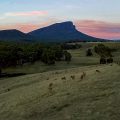
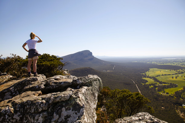
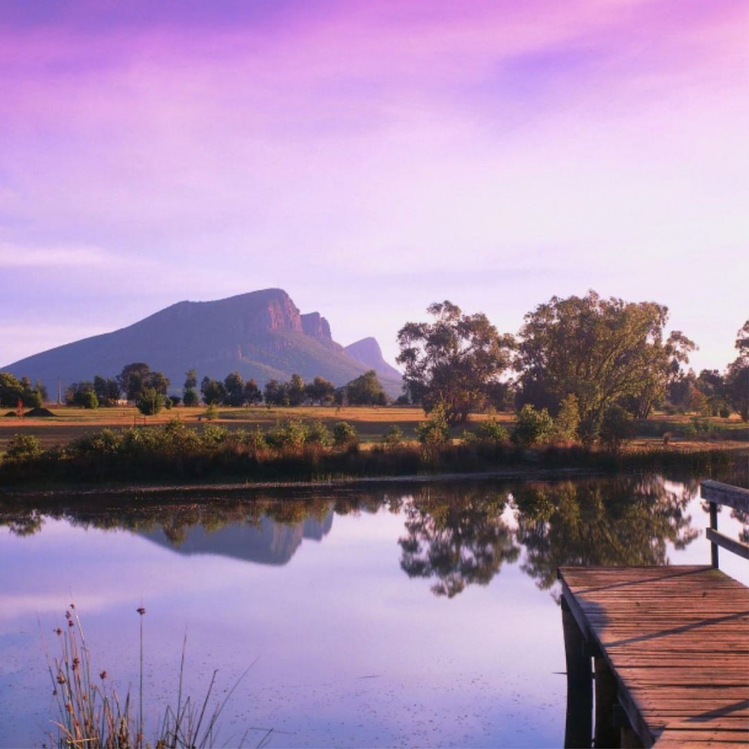
Wurgarri (Mount Sturgeon) is positioned at the southernmost point of the Grampians (Gariwerd) National Park and is one of the two outstanding peaks towering over the town of Dunkeld. The walk to the peak winds through open woodland along the mountain edge, treating hikers to views of their surrounds for almost the entire walk. The summit of Wurgarri (Mt Sturgeon) offers panoramic views of the National Park and surrounding ranges and volcanic plains as well as Dunkeld and its surrounding district. Beginning at the carpark at the Grampians Tourist Road and Victoria Valley Road intersection, the walk is 7km return taking roughly 3 hours to do. The hike can involve water crossings and slippery surfaces in winter as well as some steep sections and so is recommend for fit, energetic walkers.
Walk commences from the corner of Victoria Valley Road and Grampians Tourist Road, Dunkeld.
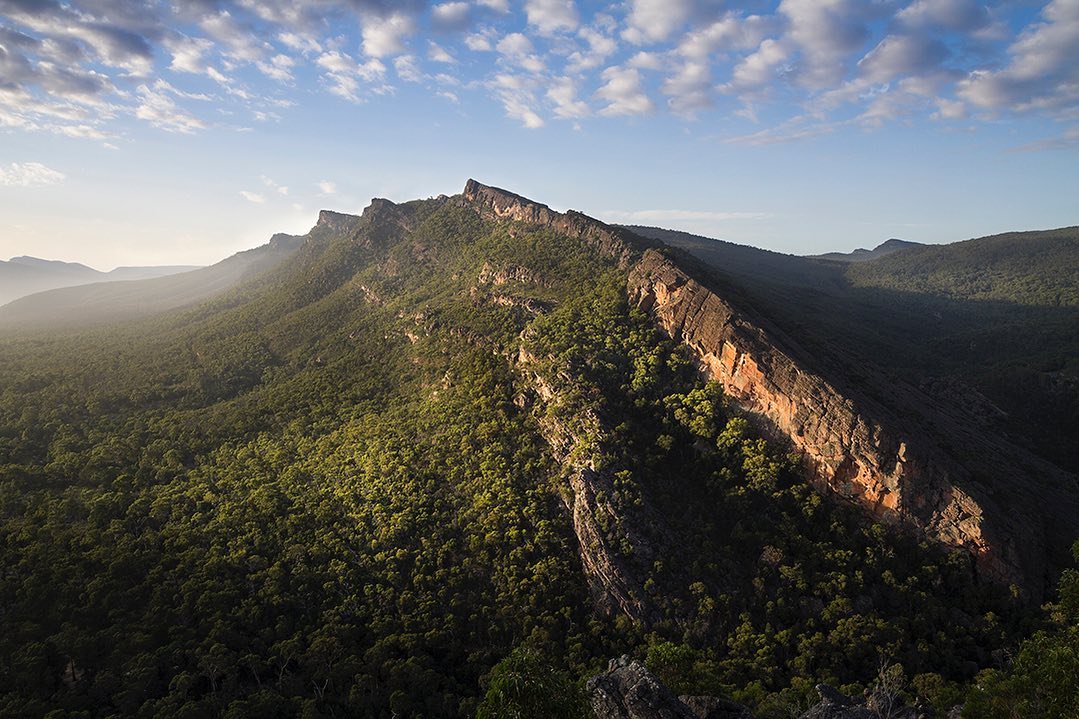
Mud-Dadjug (Mount Abrupt) is a one of two outstanding peaks towering over Dunkeld’s township. Rising 827m above the surrounding landscape Mud-Dadjug (Mt Abrupt) provides visitors who climb the mountain with views of the surrounding area. Walkers will embark on a steep walk through heathy Grampians (Gariwerd) bushland before following the ridge line of the mountain which offers views of the surrounding area. The track has plenty of spots to stop for breaks with views out over the ranges and surrounding district. From the summit take in 360-degree views of Dunkeld and Wurgarri (Mt Sturgeon) across to Victoria Valley and down the Serra Ranges of which Mud-Dadjug (Mt Abrupt) sits at the southern end. The walking track is well defined however has steep areas and can be slippery after rain in some parts. Beginning at the Mud-Dadjug (Mount Abrupt) car park along Grampians Tourist Road the trail is roughly 6.5kms return and takes around three hours to complete.
Walk commences from the Grampians Tourist Road north of Dunkeld.
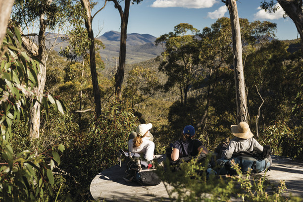
Bainggug (Mount Piccanniny) is a popular leisurely walk, 2.4km return walk and suitable for all hikers. The track begins at the Bainggug (Piccaninny) carpark along Victoria Valley Road or Grampians Tourist Road. The easy to follow path leads through picturesque lush woodlands, with a gradual incline leading to the summit. Keep your eyes peeled for the many interesting animal and plant species that call this area home. Once at the summit, enjoy great views of Wurgarri (Mt Sturgeon) and Mud-Dadjug (Mt Abrupt) on either side of Bainggug (Mt Picaninny) as well as out to the Dunkeld township and surrounding pastoral land. The summit is a perfect spot to bring along a picnic to have on the rocks, enjoying the view. Generally, the walk takes around 1.5 hours return to complete.
Walk commences from either Victoria Valley Road or Grampians Tourist Road north of Dunkeld.
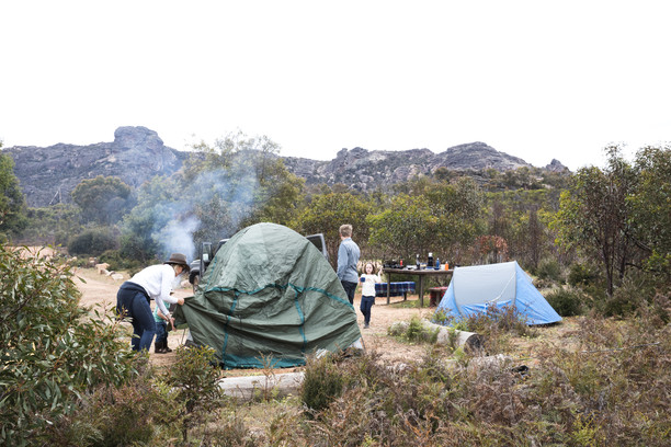
Teddy Bear Gap walk is much quieter than some of the more popular Grampians (Gariwerd) walks despite offering rewarding views. The 7km loop follows the Serra Range, with views of the Victoria Range and Duwul (Mount William) Range through the trees. The track begins going uphill before turning into a leisurely descent for the most part. The walk starts and finishes at Jimmy Creek Campground which is very well maintained and offers a place for camping and caravanning, with toilets, fire pits and picnic tables.
Walk commences from Jimmy Creek Campground, Grampians Tourist Road, Mafeking.
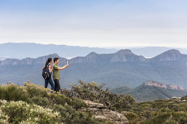
Chimney Pots is a group of striking sandstone formations situated in the south-west corner of the Grampians (Gariwerd) National Park, just 30 minutes from Cavendish. The hike around the Chimney Pots offers spectacular views of the Grampians with plenty of spots for rest breaks and pictures along the way. Access to the walk is off the Henty Highway, down Woohlpooer Road and then Glenelg River Road, where the start of the walk is clearly defined by a carpark. Taking the walking path from the carpark, the 5km loop will take you through the shrubbery and past waterfalls, to reach the summit where you will find breathtaking views of the National Park and surrounding area. Due to its distance from other Grampians (Gariwerd) attractions, the Chimney Pots is a lot quieter and so is largely undisturbed. This, consequently, has meant that lots of wildlife, native plants and wildflowers are found in the area. The Chimney Pots takes around 3 hours to complete and due to its sometimes steep and rocky nature is a grade four walk meaning it is recommended for more experienced hikers. While there is no campground at the Chimney Pots, there are a multitude of camping and cabin accommodation options in the area, with the closest being Strachans Campground just under 15 minutes away.
Walk commences from Glenelg River Road.


INSTA INSPO OF #GRAMPIANS
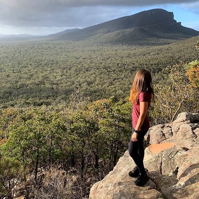
Walking in Grampians
@alinieg
Ridge View Grampians
@timobalk.photography
Dunkeld Arboretum
@thegrampians
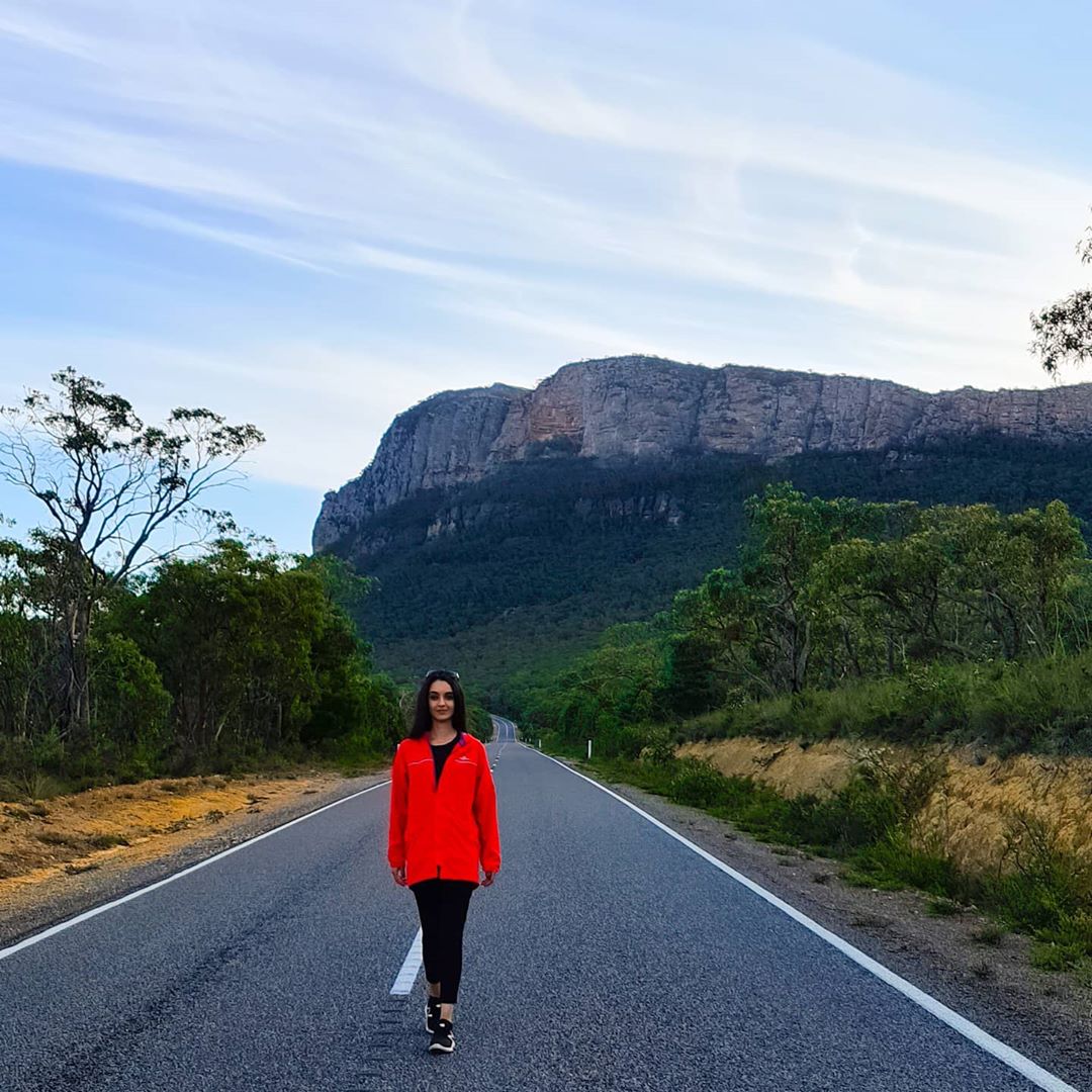
Road walk Grampians
@bturkarslan
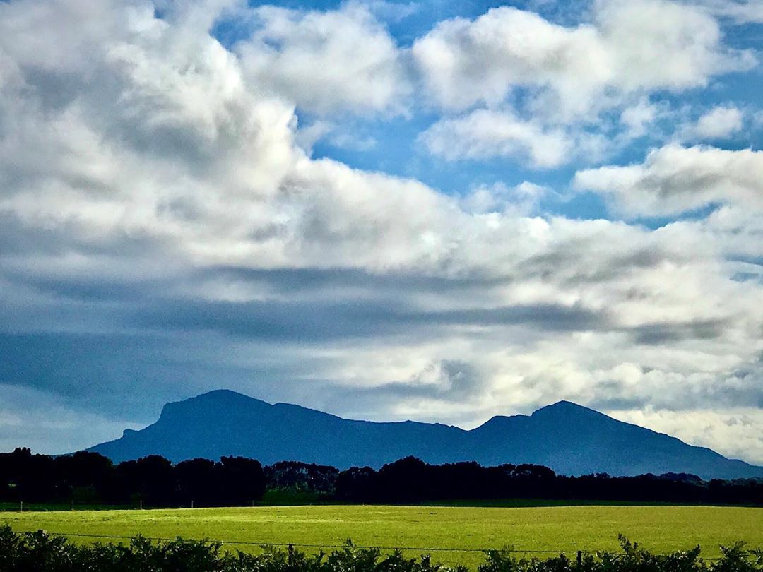
Mountain Silhouette Grampians
@_memento_mori_hoi576
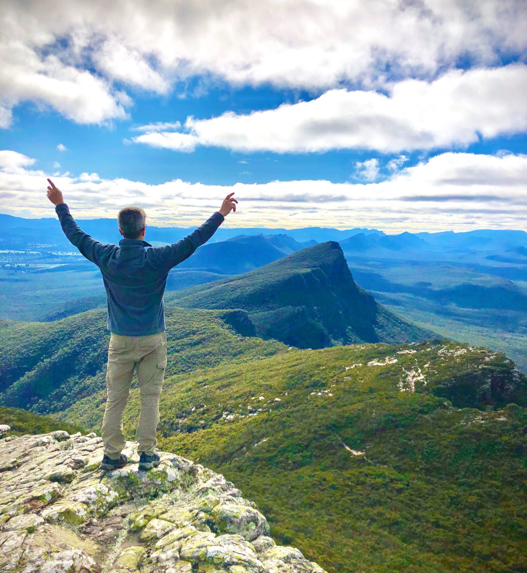
Standing Aloft Grampians
@luke_travels_the_world
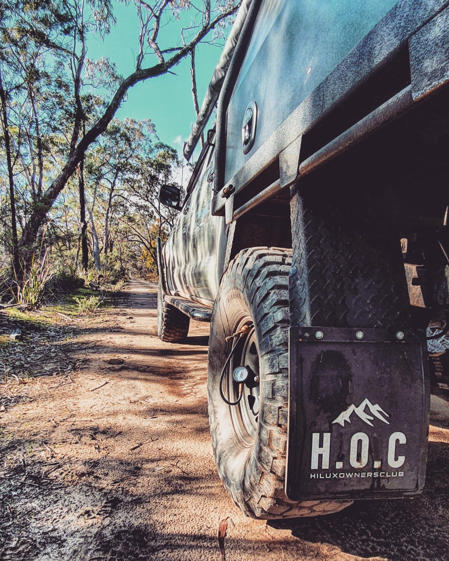
4WD in Grampians
@dans_n70hilux
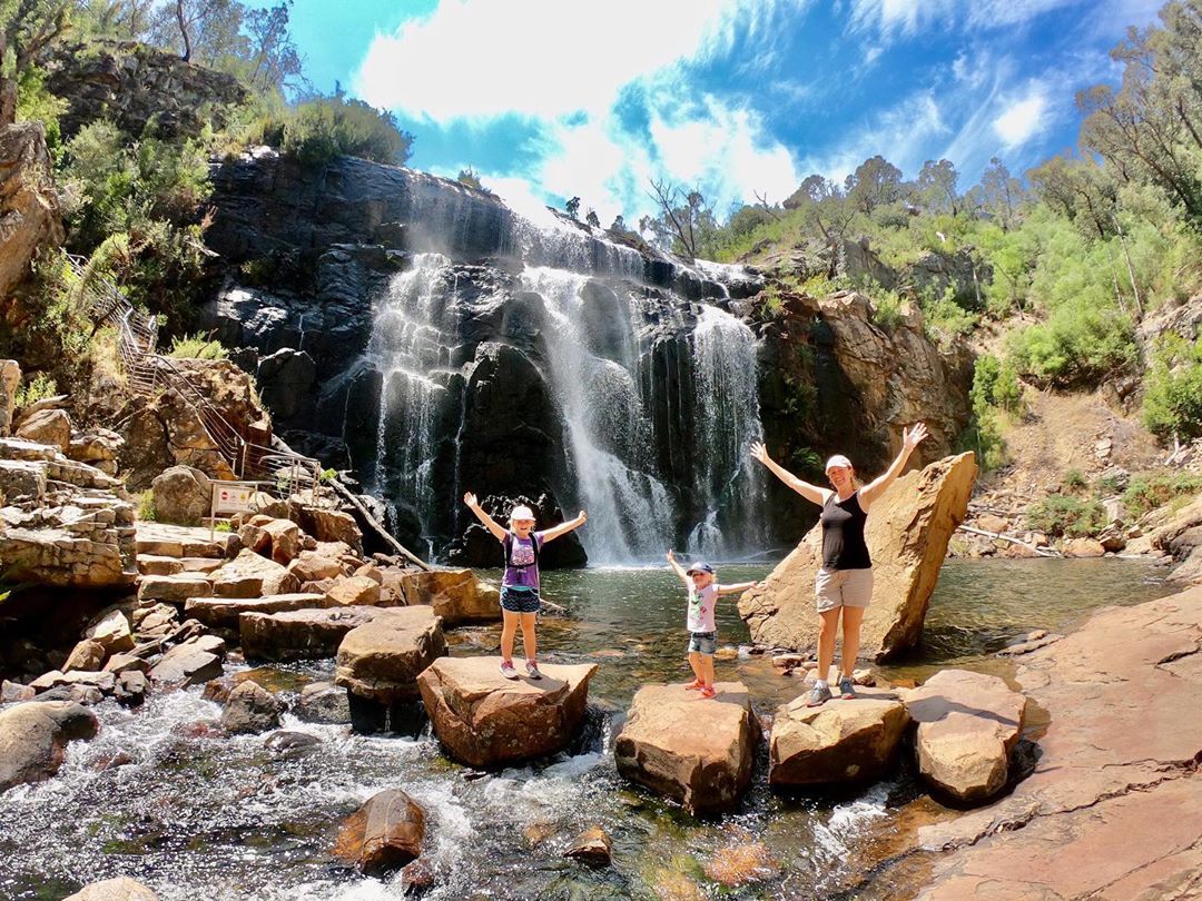
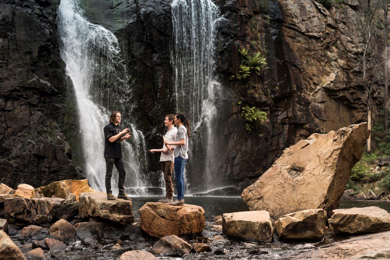
Mackenzie Falls Grampians
@4wardsmovingforward

10 Most Instagrammable Spots in Dunkeld
Drop a pin or use a hashtag for these ten Instagram-worthy settings and scenes of spectacular Dunkeld, entryway to the Grampians.